01
Capture
Coordinates printed inside the photo
Not metadata that disappears the moment the file is forwarded. Position, accuracy and time are written onto the image itself: the evidence travels with it.
Field survey instrument · Android & web
GeoFold turns a field phone into a survey instrument: every point carries a coordinate, an accuracy figure and a timestamp written onto the image itself. It keeps working with no signal, then sends itself the moment there is one.
Our position0°04′32″ N111°29′43″ EOur first survey site
Who it is for
What it does
05
This is not a feature list. It is the line between field records that hold up under scrutiny and photos quietly rotting in a phone gallery.
01
Capture
Not metadata that disappears the moment the file is forwarded. Position, accuracy and time are written onto the image itself: the evidence travels with it.
02
Offline
Points queue up on the device and send themselves the moment there is a signal. Nothing to write down twice, nobody waiting on a screen.
03
Map
Every point drawn on a satellite or street map, with a quadrat grid for measuring how much of a block has actually been covered.
04
Export
One .xlsx file with each photo embedded in its row, or .csv if you want to process it further. No extra software, no reassembling anything.
05
Drone
The DJI drone build captures from the aircraft, with the aircraft's own coordinates, then files the results into the same project as a walked survey.
How it works
01 / 03
From an empty project to a report you can send, with nothing extra in between.
Define the form fields yourself: the finding, its condition, your notes. Whatever your team actually records in the field.
Photo, coordinates and accuracy are saved together. Works with no signal at all.
Export Excel or CSV any time: from the phone or from the browser. The data stays yours.
Why this matters
An ordinary field photo keeps its location in metadata, and the metadata is gone the moment the image goes through WhatsApp, gets copied again, or is edited even slightly. Six months later, nobody can prove where it was taken.
GeoFold writes the coordinates, accuracy and time into the image itself, then stores the same figures in the database. Both stay attached wherever the photo travels.
The ground we work on
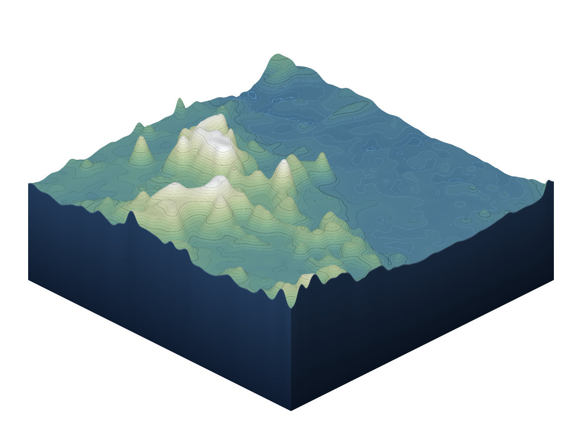
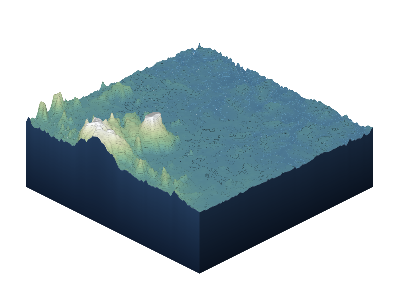
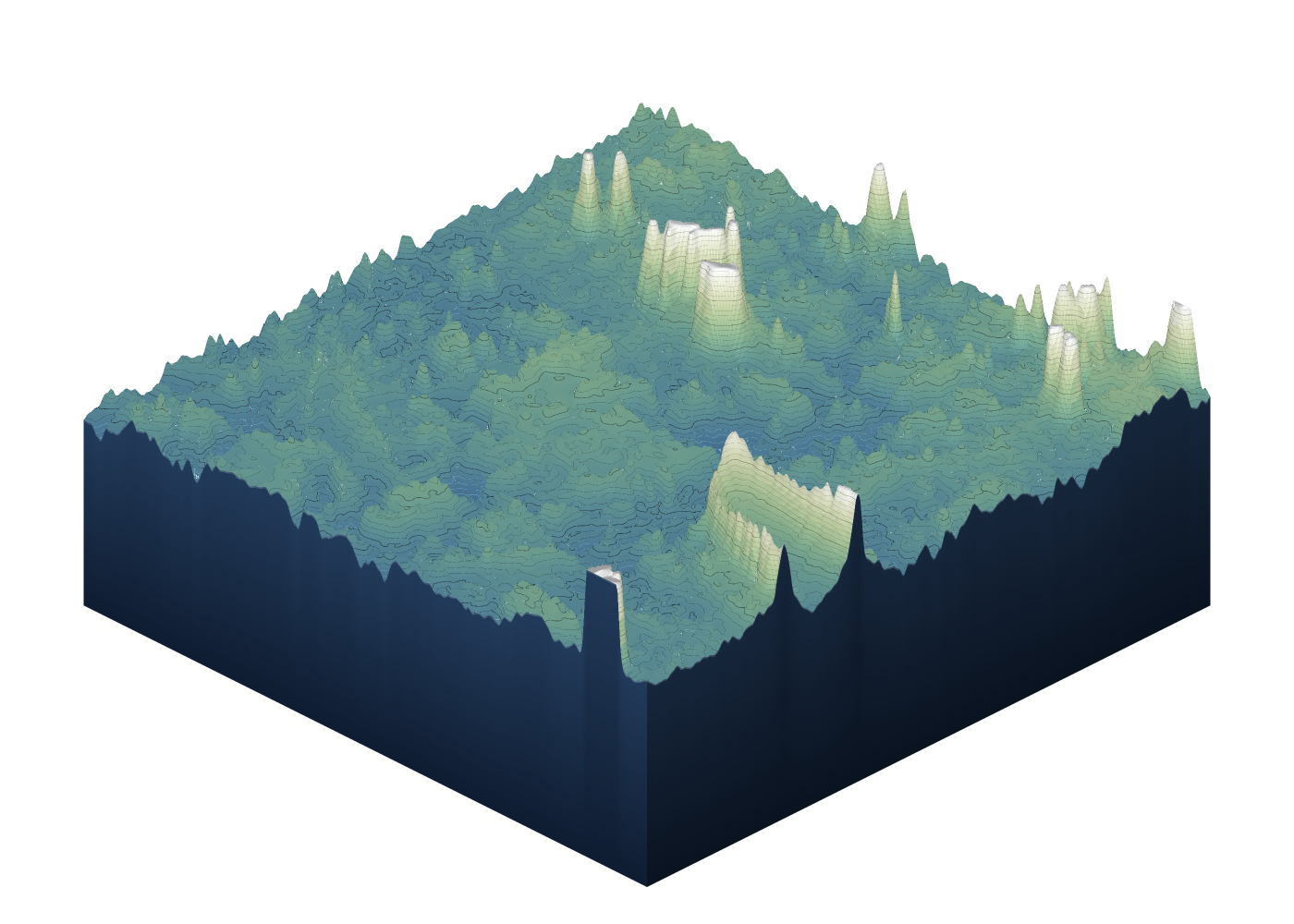
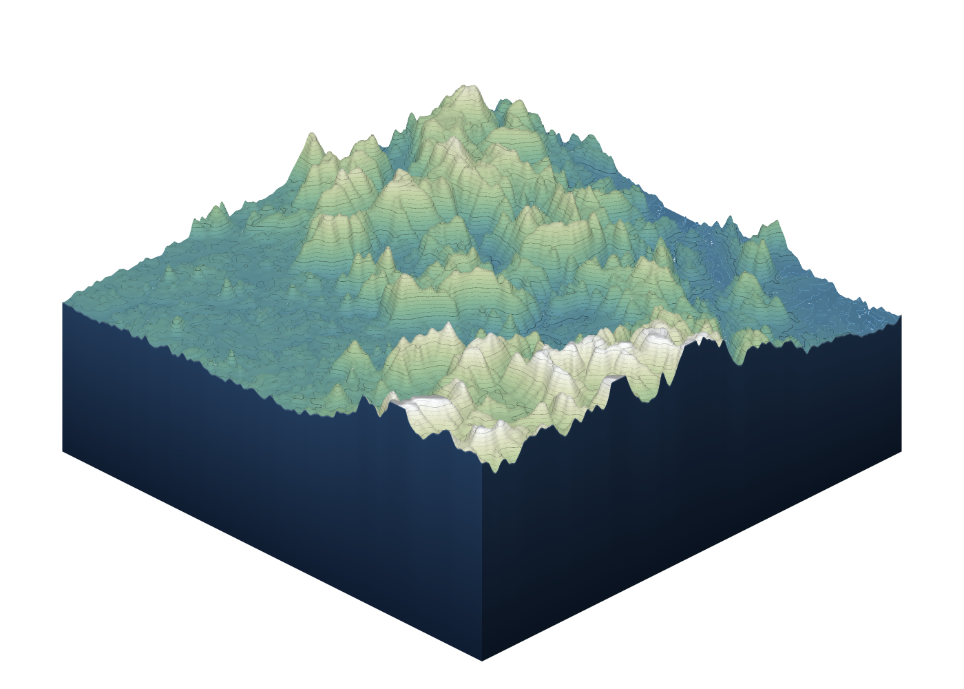
Five blocks of terrain around Sintang, rendered from the same public elevation data our tools use. The number on each panel is its relief — the height difference between the lowest and highest point in that block: from 78 metres in the lowland swamp to 979 metres in the high country.
 The working basin · relief 357 mThe Sintang lowland
 Northern lowland · relief 78 mSwamp and minor rivers
 Highland front · relief 657 mWhere the relief begins
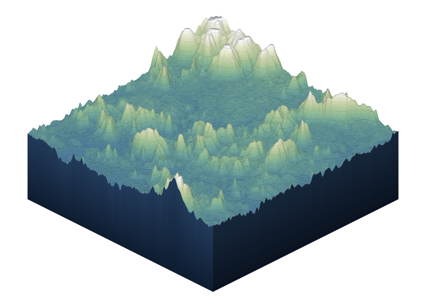 Southern range · relief 551 mThe border range
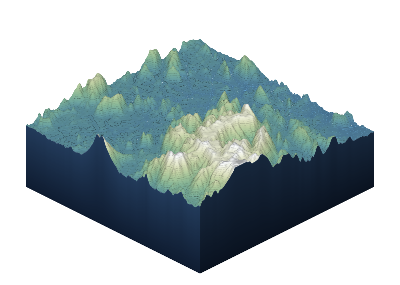 High country · relief 979 mThe tallest ground here
Pricing
Free
Rp 0
2 projects, 3 photos per project, 10 MB of storage, daily limits. Forever, no card.
Premium
Rp 40.000/ 30 days
Every feature unlocked, no limit on projects, photos or surveys. 500 MB of storage. One payment, not recurring.
A one-off payment, not an auto-renewing subscription. No auto-debit and nothing to cancel. Refund policy.
No credit card needed. The first two projects are free forever — enough to prove whether this fits the way your team actually works.